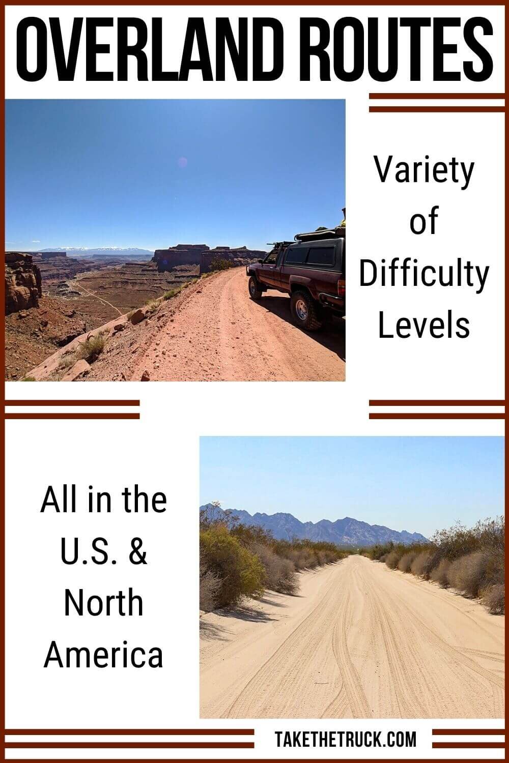
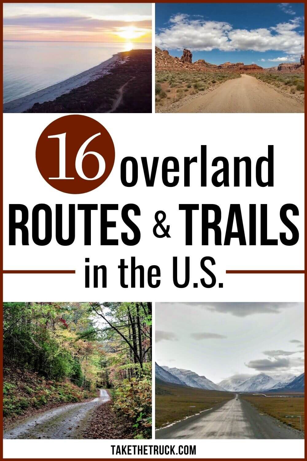
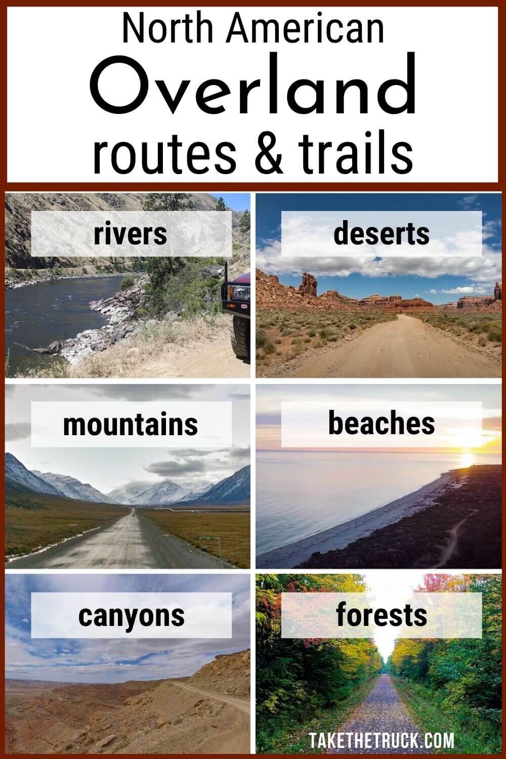
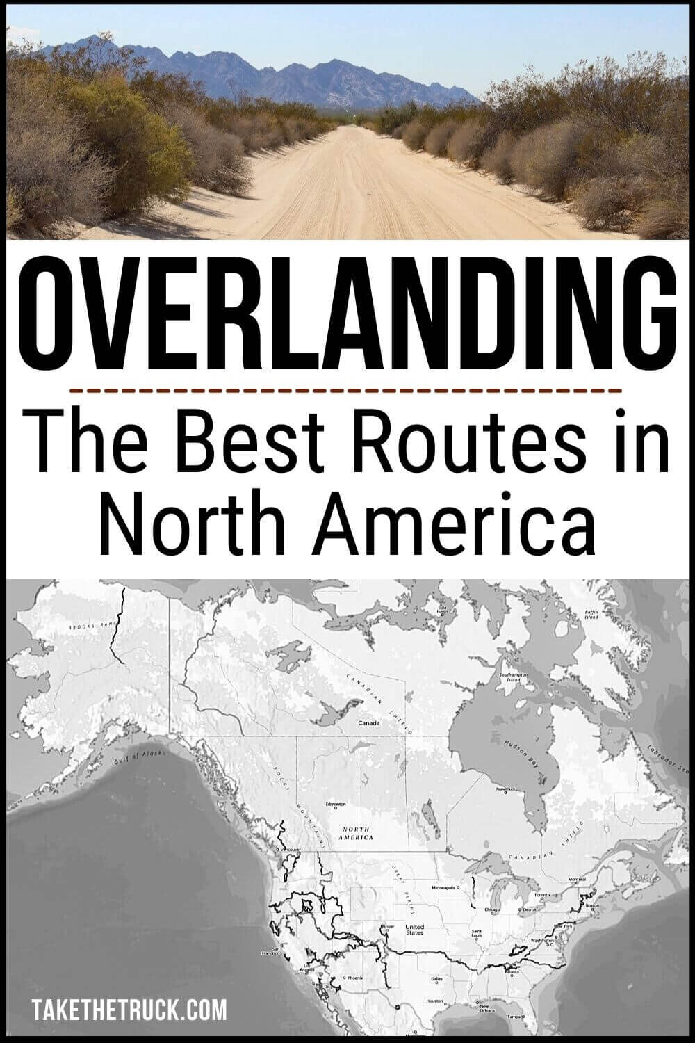
The Best Overlanding Trails and Routes In North America
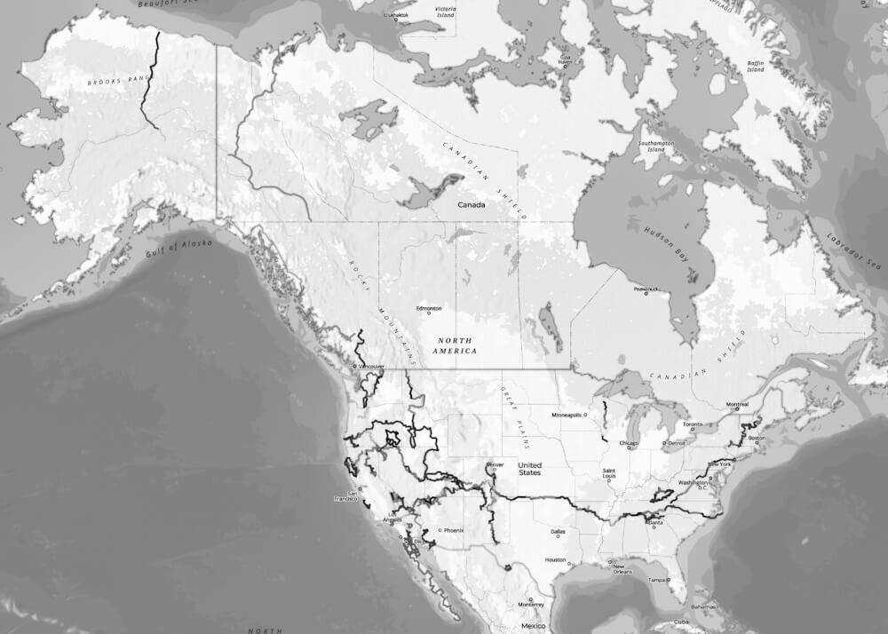
This guide outlines some of the best overlanding trails and overland routes throughout North America in order to help you find an overland adventure that best suits your time-frame, your vehicle’s limitations, and your skill level.
Overlanding Trails and Routes:
Though several of the below overland trails and routes would not technically fall under what most would consider to be overlanding, the shorter routes will give you the opportunity to hone your overland trip planning skills and build up to the more lengthy and challenging overland trails.

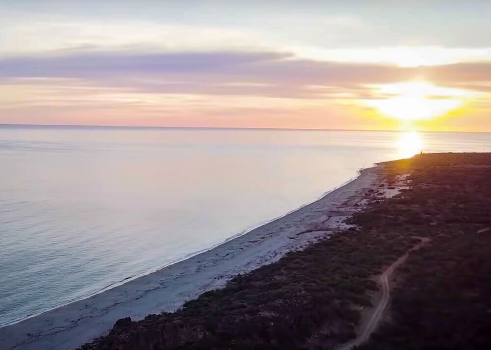
Valley of the Gods Road
Location: North of Mexican Hat, Utah
Distance: 17-mile loop
Recommended Trip Duration: 2 hours - 2 days
When to Go: Spring (March-early June) and Fall (September-October)
While Valley of the Gods Road in Utah is the shortest overland trail on our list, we intentionally include it because it offers a truly remarkable overland experience with an incredibly low barrier to entry.
This is due to its mild dirt and gravel track, it's easy accessibility, and its close proximity to some of the most incredible natural beauty Utah, Arizona, and Colorado have to offer.
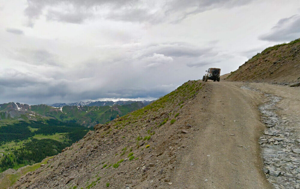
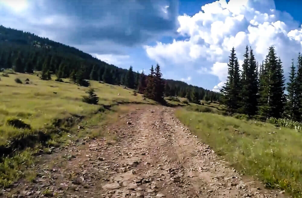
The Alpine Loop
Location: Hwy 550 Ouray, CO to Silverton, CO
Distance: 63 Miles
Recommended Trip Duration: 5 hours - 2 days
When to Go: late June to September (snow-fall dependent)
The Alpine Loop is another short overland trail that offers a taste of overlanding without requiring a heavy investment of time, resources, or planning. Composed of a series of early-19th-century mining roads, the 63 mile route between Ouray and Silverton, CO traverses two 12,000ft mountain passes (Engineer and Cinnamon) and provides breathtaking views of the San Juan Mountains. It does require a high-clearance 4WD vehicle to navigate the trail safely.
If you’re in the Alpine Loop area and want to run another, potentially more challenging and technical, overland trail - the infamous Black Bear Road (Forest Service Rd 648) is near by. Though it is not for inexperienced drivers. Portions of the Black Bear Pass can be difficult or even impassable in wet conditions and sections of this trail can be prone to rock-slides.
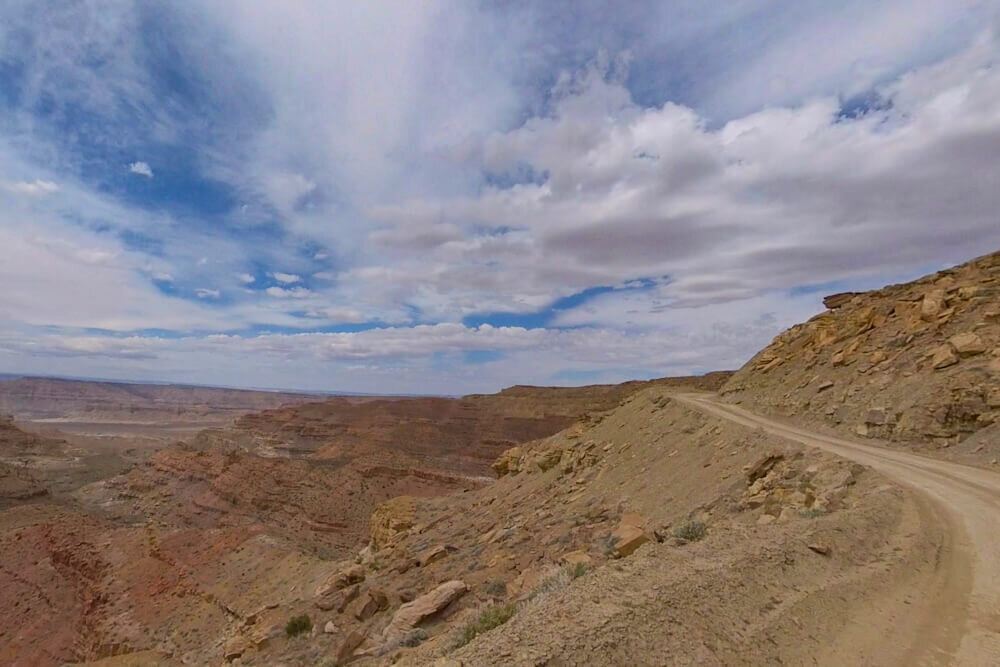
Smoky Mountain Road
Location: Big Water, UT to Escalante, Utah
Distance: 78 miles
Recommended Trip Duration: 6 hours - 2 days
When to Go: Spring or Fall
The 78 mile Smoky Mountain Road overland trail ups the ante, in both difficulty and desolation. It spans an incredibly scenic section of the Grand Staircase Escalante National Monument and Glen Canyon National Recreation Area, offering astonishing views of Lake Powell and the Navajo Mountains.
A high-clearance 4WD vehicle is required, and the route becomes impassable when wet or snow covered so be sure to check road conditions beforehand.
Due to the trail’s remoteness, you’ll want plenty of fuel, water, food, as well as a full-size spare and tire repair kit. Though it will require a strong stomach for heights - after climbing Kelly Grade, the views from the Smoky Mountain Overlook alone will be worth the trip!
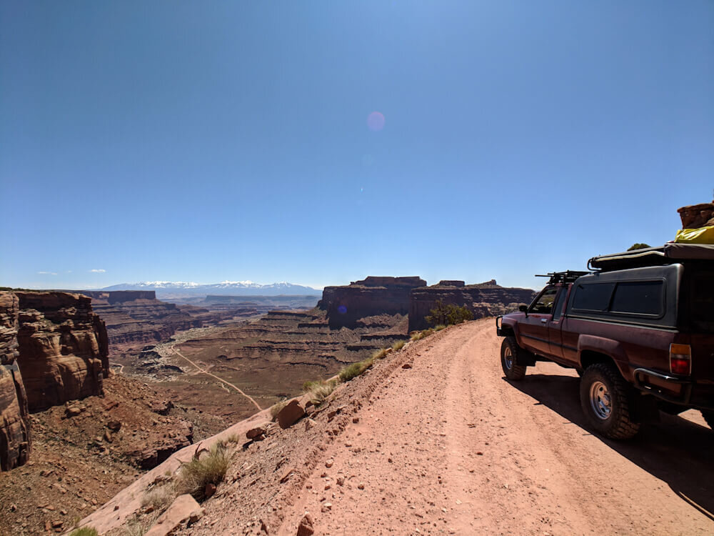
White Rim Trail
Location: Canyonlands National Park
Distance: 110 mile loop
Recommended Trip Duration: 12 hours - 4 days
When to Go: Late Spring, Summer, or Fall
The White Rim Trail in Canyonlands National Park is one of our favorite overland trails in the U.S., and, despite the fact that it’s a relatively short and moderately challenging route, it offers some of the most remarkable views in Utah.
It does require a high-clearance 4WD vehicle and sections of the western half can flood during high-water conditions on the Green River. And though it’s technically possible to run this overland trail in one day (if camping permits are not available) it will be a long and grueling day, and you will still need a day-use permit to drive on the road (only 50 permits are issued per day, and they’re only available 24hrs in advance).
If at all possible, we’d highly recommend making camping reservations well in advance of your trip, and breaking the route up over the course of 2-3 days.

El Camino Del Diablo Overland Trail
Location: Ajo, AZ to Yuma, AZ
Distance: 130 miles
Recommended Trip Duration: 1 - 2 days
When to Go: Spring (Feb-April) or Fall
The Devil’s Highway is an overland trail through some of the most rugged and remote terrain in the Sonoran Desert. It’s a merciless stretch of land with extremely limited natural water sources, scorching summer temperatures, and - because it traverses through the Barry M. Goldwater military range and passes in such close proximity to the US/Mexico border - has a unique set of potential safety hazards that make this overland route a challenging adventure for the well prepared.
A high-clearance 4x4 vehicle, at least one full-size spare tire & repair kit, excessive amounts of food and water, and a satellite communication device such as the Garmin InReach (cell service is extremely limited over the majority of the route) are required when entering this desolate, but incredibly bio-diverse and beautiful overland trail.
Permits are required for traveling through both the Barry M Goldwater Range and the Cabeza Prieta N.W.R. and both can be obtained at the Cabeza Prieta N.W.R. headquarters in Ajo (1611 North Second Street, Ajo, Ariz. Ph: 520-387-6483).
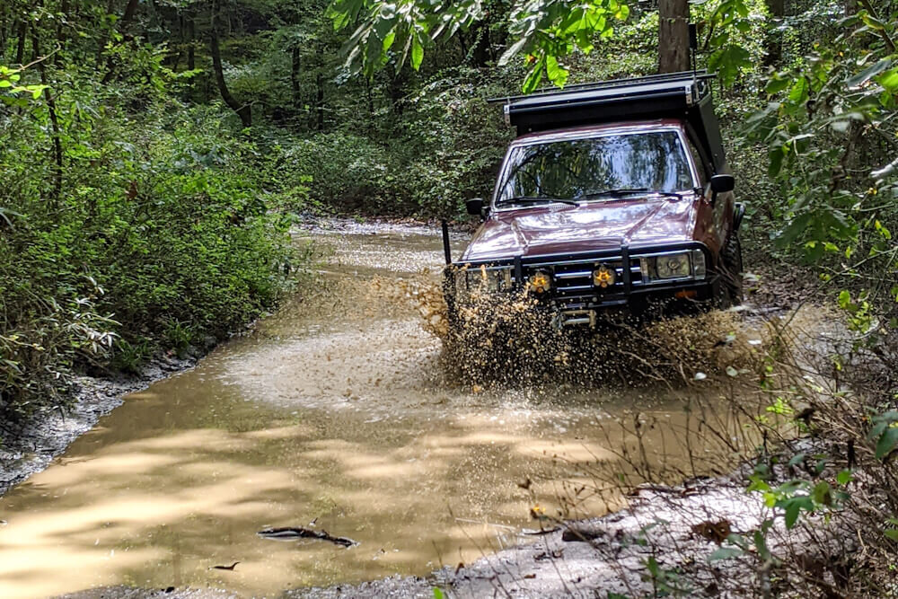
High Water Mark Trail (Ozark Overland Trail)
Location: St. Joe, AR to Cass, AR
Distance: 140+/- miles
Recommended Trip Duration: 3 days
When to Go: Fall
The little-known High Water Mark Trail, also known as the Ozark Overland Trail, traverses approximately 140 miles of mostly two-track and forest service roads between the Buffalo National River and the Ozark National Forest in Arkansas.
The route includes numerous opportunities to navigate water crossings, mud bogs, and bedrock shelves while offering stunning views of the surrounding Ozark Mountains.
Sections of the High Water Mark Trail get very tight and technical and not recommended for full-size trucks and SUVs, high-clearance 4WD vehicle is required (33” tires minimum and rock sliders are recommended), as well as a full set of recovery gear. There is limited cell service, and some of the water crossings can become impassable following heavy rains so be sure to check weather conditions and river levels leading up to and throughout your planned trip duration.

The Mojave Road
Location: Mojave Road, Mojave National Preserve, California
Distance: 147 miles
Recommended Trip Duration: 2-4 days
When to Go: Spring or Fall
The Mojave Road is an overland trail that traverses a breathtaking 147 mile section of the Mojave Desert between the Colorado and Mojave Rivers, and most of the route is inside the Mojave National Preserve.
A high-clearance 4x4 vehicle is required, as the route is largely unmaintained two-track which can become impassable after heavy rains.
A full suite of overland recovery gear including a full size spare and tire repair kit are highly recommended due to challenging sections throughout the route and the tire-puncturing teddy bear cholla cacti.
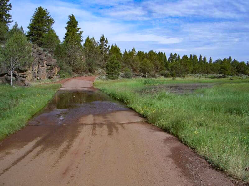
California Backcountry Discovery Trails
Location: Throughout Northern California (roughly Upper Lake, CA to New Pine Creek, CA)
Distance: (variable)
Recommended Trip Duration: 3 days - 3 weeks (distance dependent)
When to Go: Late Spring through Late Fall
The California Backcountry Discovery Trail is a series of overland trails covering nearly a thousand miles throughout a total of five national forests in Northern California.
Modoc National Forest
Plumas National Forest
Mendocino National Forest
Lassen National Forest
Six Rivers National Forest
This unique system of overland routes was initiated by the National Forest Service, and though the project was later abandoned you can still travel these overland trails today while enjoying the incredible beauty and rich history that Northern California has to offer.
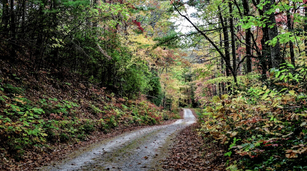
The Georgia Traverse
Location: Burrells Ford, SC to Chattoogaville, GA
Distance: 390+/- miles
Recommended Trip Duration: 4 days
When to Go: Spring, Summer, or Fall
The Georgia Traverse overland trail crosses the entire state of Georgia from east to west beginning at the state line at Burrells Ford, SC and terminating at the Alabama border at Chattoogaville, GA.
The approximately 390 mile route is largely off-pavement, consisting of a mixture of county, state, and forest service roads while intertwining with some sections of the Trans-America Overland Trail (which we discuss in greater detail below).
A high-clearance 4WD vehicle is required, and though most of the trail is moderate with a few mild water crossings, you are somewhat likely to encounter a couple road closures or locked gates due to seasonal changes in road conditions and sections of the trail become very muddy in wet conditions.
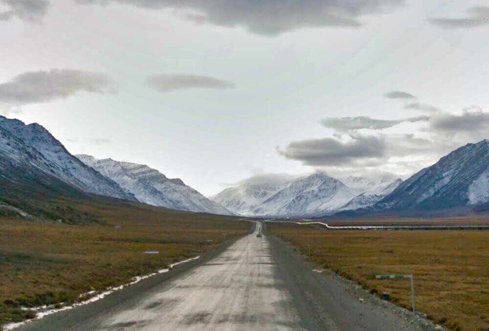
The Dalton Highway
Location: Livengood, AK to Deadhorse, Alaska
Distance: 414 miles
Recommended Trip Duration: 3-5+ days
When to Go: June to mid-July
The Dalton Highway is one of the most isolated stretches of road in the United States, with only three towns along its 414 mile path linking Fairbanks Alaska to the oil fields of Prudhoe Bay along the Trans-Alaska Pipeline.
While it largely consists of two-lane gravel road, it's the isolation, steep grades, often poor visibility, and limited availability of resources that makes it an incredible overland trail. It also makes up the northernmost section of the Pan American Highway.
While 4WD is not required, due to the limited number of refueling stations and poor road conditions it’s highly recommended to carry extra fuel, at least one full-size spare tire, and a tire repair kit. Cell service is non-existent throughout the route, so a satellite communication device should be taken and weather conditions should be monitored closely leading up to a trip along this treacherous route.
The Baja Peninsula
Location: Baja Peninsula, Mexico
Distance: (variable)
Recommended Trip Duration: 2 weeks – 2 months+ (distance dependent)
When to Go: January-March
The Baja California Peninsula is a veritable overlander’s paradise, with its seemingly endless beaches, two-track roads, beautiful mountains, and unique desert terrain.
The peninsula stretches 775 miles south from Mexicali to Cabo San Lucas with the bay of California to the East and the vast Pacific Ocean to the west.
You will need the following if you want to get into Baja or run any of the incredible overland trails it has to offer:
A valid passport
Vehicle registration/proof of vehicle ownership (and if you don’t own your vehicle outright, be sure to check with your lien holder before planning a trip)
Mexico Vehicle Insurance
Pet vaccination records up-to-date within 120 days from crossing (if traveling with your pet)
**Make copies of all of your documents to provide if/when requested, carry your originals separately in a secure location and only present originals if requested.

Trans-Wisconsin Adventure Trail
Location: Hazel Green, WI to Point Detour, WI
Distance: 600+ miles
Recommended Trip Duration: 3-5 days
When to Go: Spring, Summer, Fall
While the Trans-Wisconsin Adventure trail is not an exceptionally challenging overland trail it is one of the longest overland routes in the midwest and provides a great opportunity for those looking for adventure.
Consisting of a mix of paved, gravel, sandy two-track, and forest service roads, the route can be done without the need for 4WD - though it is recommended especially in the rainier season.
Over the span of its approximately 600 miles, the trail covers some of the most scenic views Wisconsin has to offer (particularly in the Fall) before terminating at the shores of Lake Superior.
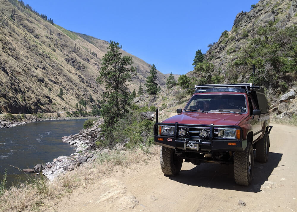
The Enchanted Rockies Trail
Location: Queen, NM to Estes Park, CO
Distance: appx 1200 miles
Recommended Trip Duration: 1-2+ weeks
When to Go: late June to early October
The Enchanted Rockies Trail is an overland route that spans approximately 1,200 miles between Queen, NM and Estes Park, CO. The majority of the route, nearly 800 miles, is off-pavement and traverses 9 National Forests and 2 National Parks.
While this overland trail is considered mostly moderate, after rain or in snowy conditions the trail can become much more technical to navigate, and it does traverse several mountain ranges at high elevation. A high-clearance 4WD vehicle is required, and off-road recovery gear is highly recommended.
The Idaho Backcountry Discovery Route
Location: Jarbidge, Nevada to the Canadian Border
Distance: 1250 miles
Recommended Time: 8 days - 2 weeks
When to Go: July through October
There is likely no better way to experience all the natural beauty that Idaho has to offer than to take the Idaho Backcountry Discovery Route from it’s southern terminus in Jarbridge, NV and follow its 1250 miles north to the Canadian Border town of Porthill, Idaho.
Though it’s a fairly moderate overland trail that can typically be navigated in a stock 4WD vehicle, you’ll need to be mindful of potential forest fires, logging activity, and downed trees along the route.
The trail is rife with history, small mining towns, and incredible views, and after a long day on the trail you could make a detour and explore some of the natural hot springs that idaho has to offer.
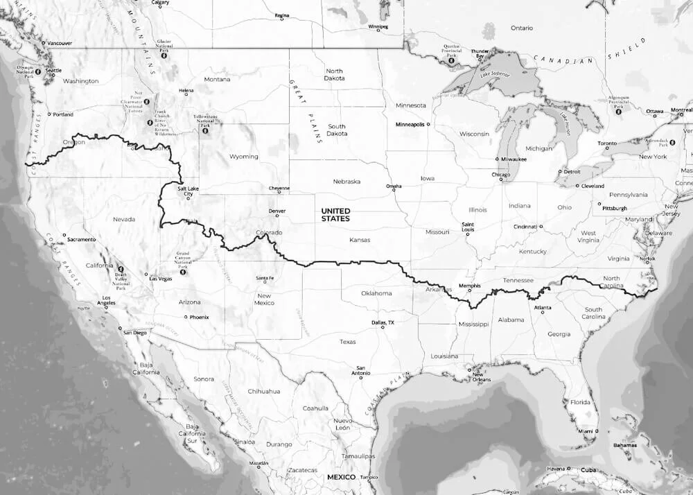
The Trans-America Overland Trail
Location: Varies - roughly near Cape Hatterous, NC to Port Orford, OR
Distance: approximately 5000 miles
Recommended Trip Duration: 1 month+
When to Go: Year-Round, though sections can be seasonally impacted by weather
The Trans-America Trail (or TAT), though varied in its route, is the single longest overland trail in the United States spanning the breadth of the country from the Atlantic to the Pacific while offering thousands of miles of off-pavement adventure along the way.
Though a good deal of the trail is moderate, a high-clearance 4WD vehicle is required for several sections of the route and a full suite of overland recovery gear is highly recommended.
As with any overlanding route, care must be taken in navigation to avoid traversing private property or otherwise unwittingly trespassing - it’s for this reason we highly recommend that if you wish to attempt this incredible overland trail you stick to the meticulously scouted official Trans America Trail route which has been mapped and maintained since 1984 by the trail’s originator, Sam Correro.

The Pan American Highway
Location: Deadhorse, AK, United States to Ushuaia, Tierra del Fuego, Argentina
Distance: roughly 19,000 miles (one-way)
Recommended Trip Duration: 9 months - 2 years
When to Go: Best to begin in mid-summer to time winter seasons in moderate climates.
The Pan American Highway is the most notorious overlanding route in the Americas, and the longest road in the world spanning nearly 19,000 miles and 18 countries - only breaking course at the infamous Darien Gap, between Yaviza, Panama and Turbo, Columbia.
And while it’s obviously not strictly a North American overland trail, it does traverse it from north to south - plus it’s just too legendary to leave off the list!
An overlanding trip down the Pan American will test not only your off-road driving abilities, your mapping and navigation skills, and your overland vehicle’s limitations, but also your ability to navigate a multitude of bureaucratic, linguistic, and cultural challenges.
It will undoubtedly prove to be the adventure of a lifetime, and a truly quintessential overlanding experience.
Though there is a good deal of other planning required to have a successful overlanding trip, we hope this roundup of overland trails and overlanding routes in North America helps you take the first step in planning your next adventure!
If you’re interested in learning more about overlanding, truck camping, or family overland travel, be sure to SUBSCRIBE for our blog updates.
We hope to see you out on the trail! And as always, thanks for reading.
Related Posts:
Pin this Post to Your Overlanding Board!
Share this post!